An interactive swipe map to visualize the fire spread to the community using ArcGIS Instant Apps.
An ArcGIS Experience Builder application providing a comprehensive dashboard for food insecurity and accessibilty to stores.
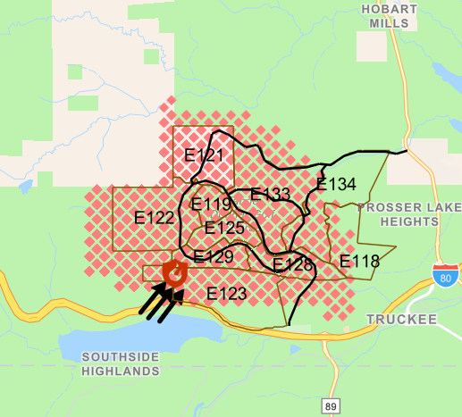
An interactive web map and application about wildland-urban interface.
Analysis and design of spatial database systems.
Development of web-based geographic information systems.
Projects related to urban transportation networks and planning.